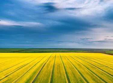
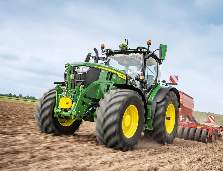
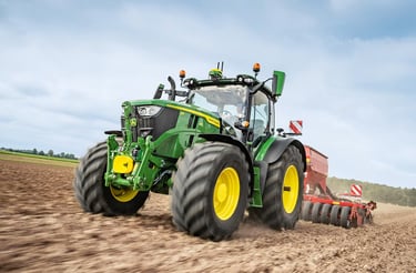
Helping Ontario Farmers Maximize Every Acre
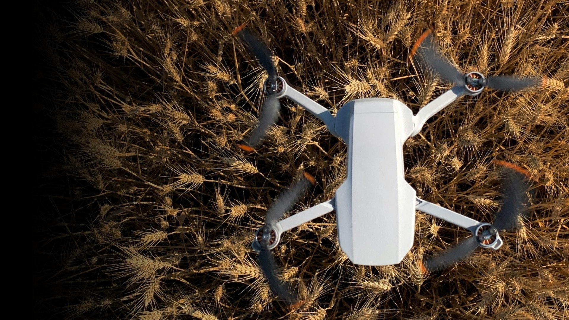
MAXIMIZE EVERY ACRE WITH AERIAL DRONE IMAGERY
Stay ahead of issues, manage harvests, and forecast yields with aerial drone services by Farmwyze — all while boosting productivity and sustainability.
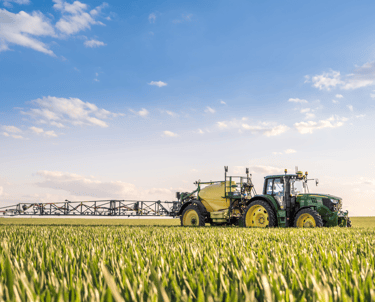
TERRAIN & SOIL DATA COLLECTION
Gather terrain and soil data for efficient planting
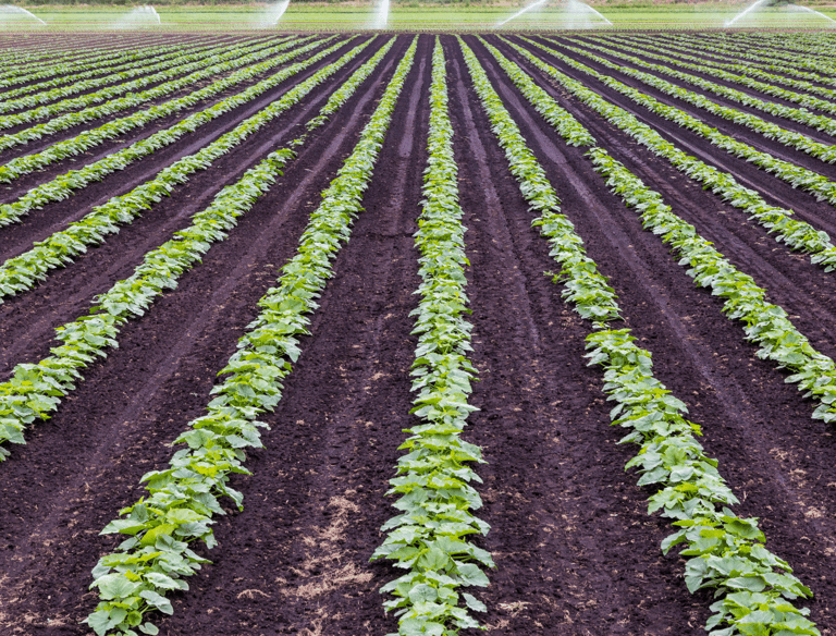
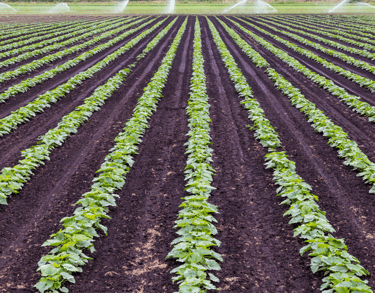
MONITOR IRRIGATION & CROP HEALTH
Boost yields, productivity, profitability, and sustainability


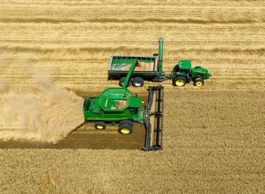
AERIAL PHOTOGRAPHY & VIDEOGRAPHY
Showcase your operation for web, social, and agri-partners.


BETTER CROP MANAGEMENT
Helping Ontario farmers and agronomists better manage crop health through aerial thermal & NDVI imaging.
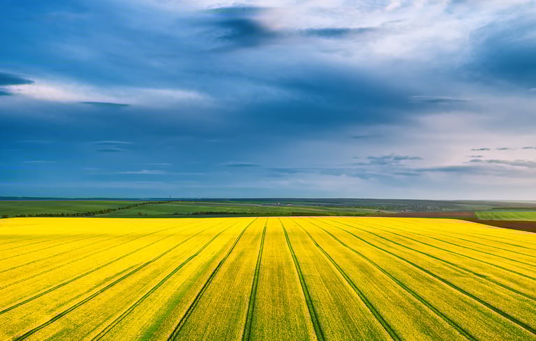
PRECISION FIELD MAPPING
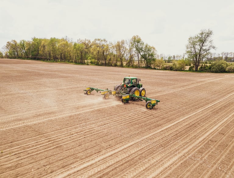
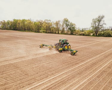
When it comes to planting, every decision matters—from where you start in the field to how seeds are spaced and placed. One of the most powerful tools helping farmers make better decisions today is drone mapping.
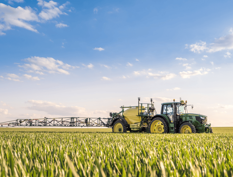
IRRIGATION MANGEMENT
Drones with thermal cameras instantly identify wet and dry areas so you can adjust spray patterns. With clear, high-resolution aerial imagery it highlights slopes, drainage, and moisture distribution.
Catch issues fast like disease, pests, and irrigation failures that ground checks can easily miss. Advanced tools like NDVI analysis quickly pinpoint trouble spots so you can act before it affects your harvest.
MONITOR CROP HEALTH
AERIAL SURVEYING
THERMAL IMAGING
NDVI IMAGING
AERIAL PHOTOGRAPHY
Multimedia production to capture the heart of your farm for use on website and social media.
PHOTOGRAPHY
Get a bird’s-eye view of your entire farm:
High-resolution aerial photography
Spot crop health issues & field conditions
Track changes and progress over time
Professional images for website & social media
VIDEOGRAPHY
Bring the story of your farm to life through videography:
Show your farming operation in action
Create videos for website and social media
Build trust and interest with agri-business partners
Share the care and dedication behind every acre

12MP or full-resolution at 50MP (wide-angle) and 48MP (telephoto)
Capture High-Resolution Images
Up to 4K at 100fps and 10-bit D-Log M or HLG color profiles
High-Quality 4K/100fps & 10-Bit Video
BLOG
Practical advice for modern agriculture


Aerial Crop & Soil Analysis
Detailed Visual Reporting
Advanced Operations Certified
Proudly 100% Canadian


Capture data on soil moisture and nutrient needs.
Photo documentation for visual proof of crop and soil health
Certified to meet Transport Canada's UAV program.
Proudly serving the farmers of southern Ontario.
DRONE SERVICES
Copywrite © 2025 Farmwyze All Rights Reserved.
COMPANY
FOLLOW US
"Jehovah will open to thee his good treasure, the heavens, to give rain unto thy land in its season, and to bless all the work of thy hand" - Deuteronomy 28:12