Helping Ontario Farmers Maximize Every Acre
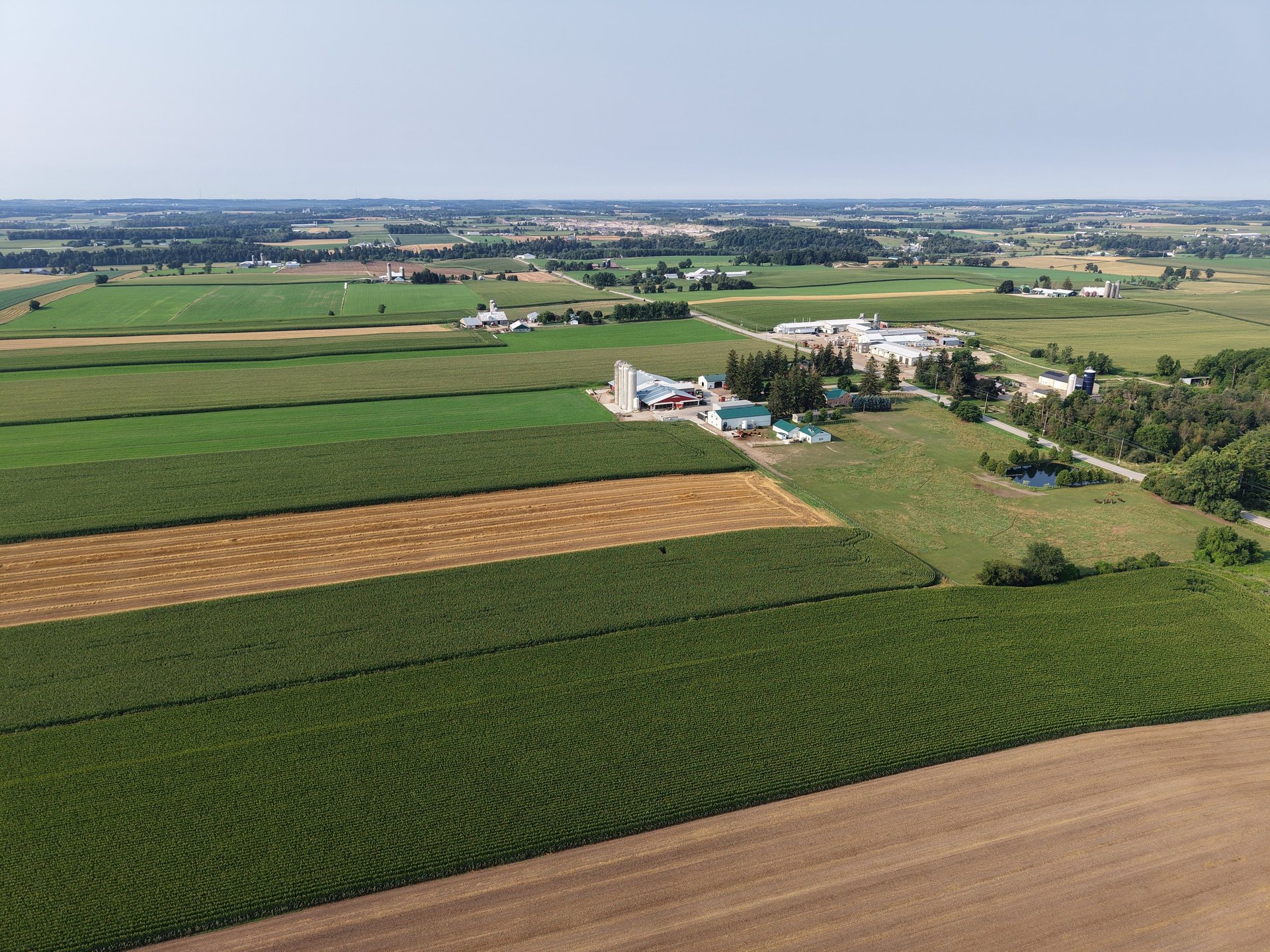
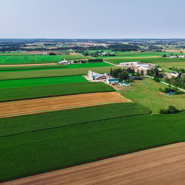
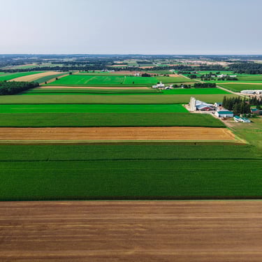
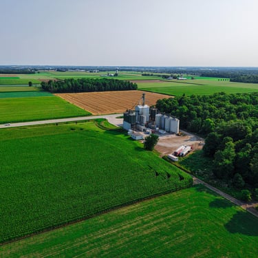
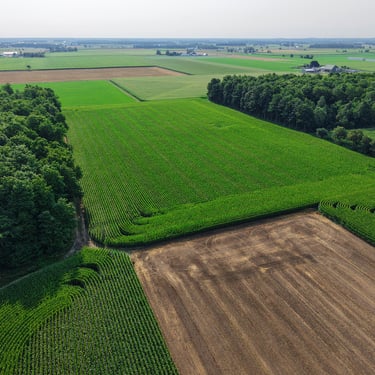
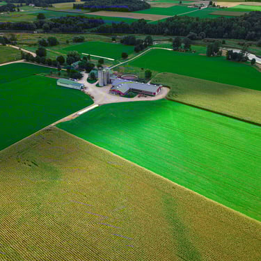
AERIAL DRONE PHOTOGRAPHY
Capture a bird's eye view of your farm for use on your website and social media.
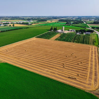
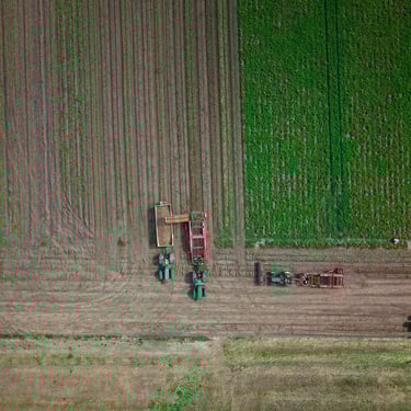
TERRAIN & SOIL DATA COLLECTION
Gather terrain and soil data for efficient planting
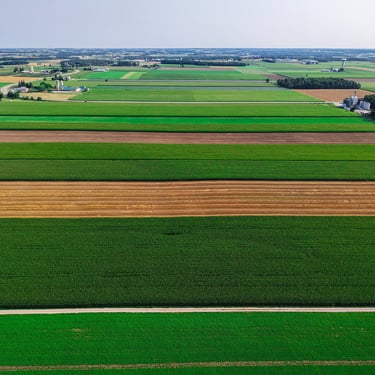
MONITOR IRRIGATION & CROP HEALTH
Boost yields, productivity, profitability, and sustainability


AERIAL PHOTOGRAPHY & VIDEOGRAPHY
Showcase your operation for web, social, and agri-partners.


PHOTOGRAPHY PRICING
5-10 Photos
Color Correction
High-res JPEG Files
$200-$450.00 + Tax
Basic Aerial Photography


Aerial Crop & Soil Analysis
Detailed Visual Reporting
Advanced Operations Certified
Proudly 100% Canadian


Capture data on soil moisture and nutrient needs.
Photo documentation for visual proof of crop and soil health
Certified to meet Transport Canada's UAV program.
Proudly serving the farmers of southern Ontario.


DRONE SERVICES
Copywrite © 2025 Farmwyze All Rights Reserved.
COMPANY
FOLLOW US
"Jehovah will open to thee his good treasure, the heavens, to give rain unto thy land in its season, and to bless all the work of thy hand" - Deuteronomy 28:12