Helping Ontario Farmers Maximize Every Acre
PRECISION FIELD MAPPING WITH THERMAL IMAGING
Drones equipped with thermal cameras instantly identify wet and dry areas so you can adjust spray patterns.
TERRAIN & SOIL DATA COLLECTION
Gather terrain and soil data for efficient planting
MONITOR IRRIGATION & CROP HEALTH
Boost yields, productivity, profitability, and sustainability


AERIAL PHOTOGRAPHY & VIDEOGRAPHY
Showcase your operation for web, social, and agri-partners.


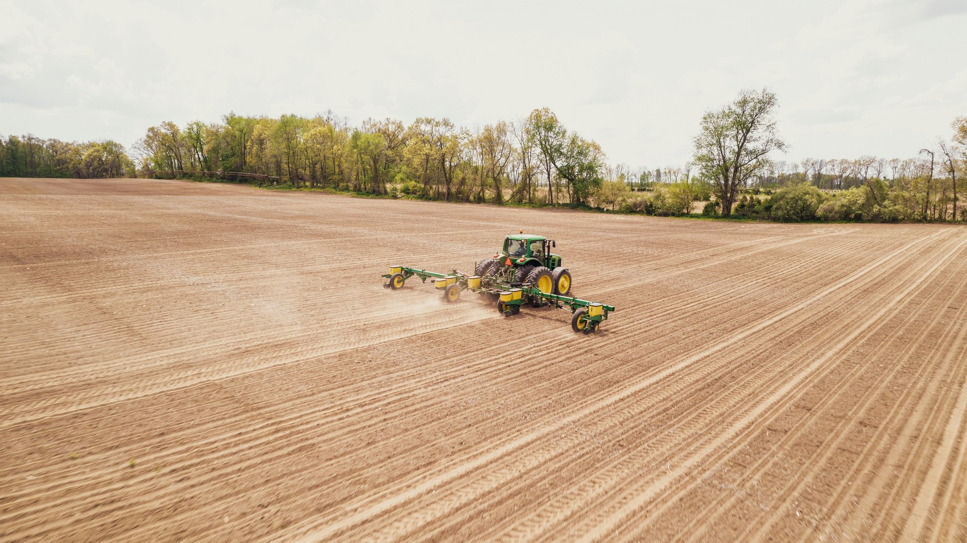
Smarter Planting using Precision Field Mapping
When it comes to planting crops and planning cover crops in Ontario, the key is knowing exactly what your fields need. Precision field mapping takes aerial surveys to the next level, giving farmers highly detailed insights they can put directly into action with equipment like John Deere GPS systems.
Why precision field mapping stands out
Modern agricultural drones combine high-resolution RGB cameras with multispectral sensors that capture key light bands (green, red, red edge, near-infrared). This means you can go beyond simply seeing your fields — you can understand what’s happening in the soil and crops.
Key benefits for planting and cover crop planning:
Accurate field variability mapping: Detect nutrient stress, soil differences, and crop vigor early.
Precise stand counts and emergence checks: Quickly measure germination success to make replanting decisions.
Drainage and elevation insights: RTK-enabled mapping delivers centimeter-level accuracy for slopes and wet spots.
Easy repeat flights: Automated missions ensure consistent data, making comparisons reliable throughout the season.

“FARMERS CAN MATCH COVER CROPS AND SEEDING RATES TO THE NEEDS OF EACH FIELD"
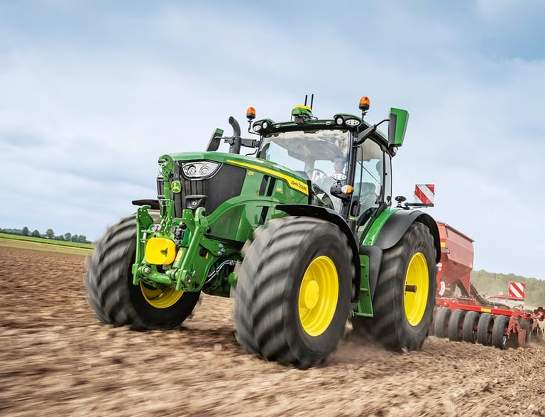
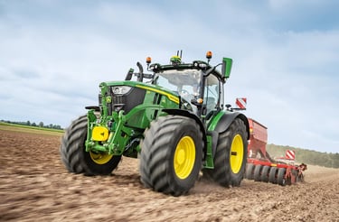
Direct integration with John Deere GPS systems
High-accuracy maps from drone surveys can be exported into John Deere Operations Center and used directly with GPS-enabled equipment. This unlocks:
Variable-rate planting: Generate prescriptions to adjust seeding rates across different zones.
Targeted cover crop placement: Plant radish, rye, clover, or other species where soil maps show compaction, erosion, or nutrient needs.
Efficient equipment passes: Map-based prescriptions align with guidance systems, reducing overlaps and wasted inputs.
One connected workflow: From drone flight, to map, to prescription, to tractor — the process stays seamless.
How Ontario farmers benefit
Ontario’s diverse soils and unpredictable weather demand precision. With drone-based mapping paired with John Deere GPS systems, farmers can:
Plant with confidence by matching seeding rates to soil potential.
Improve soil health by selecting the right cover crop species for each field zone.
Reduce costs by avoiding blanket applications of seed or fertilizer.
Build long-term sustainability with data-driven crop rotations and cover crop strategies.
Precision field mapping isn’t just a scouting tool — it’s a planning partner. By connecting detailed aerial maps to GPS-enabled equipment, Ontario farmers can turn insights into real planting and cover crop decisions that save money, improve yields, and strengthen the land for seasons to come.


Aerial Crop & Soil Analysis
Detailed Visual Reporting
Advanced Operations Certified
Proudly 100% Canadian


Capture data on soil moisture and nutrient needs.
Photo documentation for visual proof of crop and soil health
Certified to meet Transport Canada's UAV program.
Proudly serving the farmers of southern Ontario.
DRONE SERVICES
Copywrite © 2025 Farmwyze All Rights Reserved.
COMPANY
FOLLOW US
"Jehovah will open to thee his good treasure, the heavens, to give rain unto thy land in its season, and to bless all the work of thy hand" - Deuteronomy 28:12