Helping Ontario Farmers Maximize Every Acre
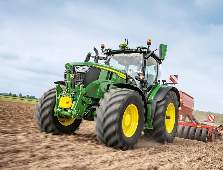
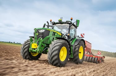
MONITOR CROP HEALTH WITH NDVI IMAGING
Normalized Difference Vegetation Index is a way of using aerial imagery—captured by drones, satellites, or specialized cameras—to measure plant health.
TERRAIN & SOIL DATA COLLECTION
Gather terrain and soil data for efficient planting
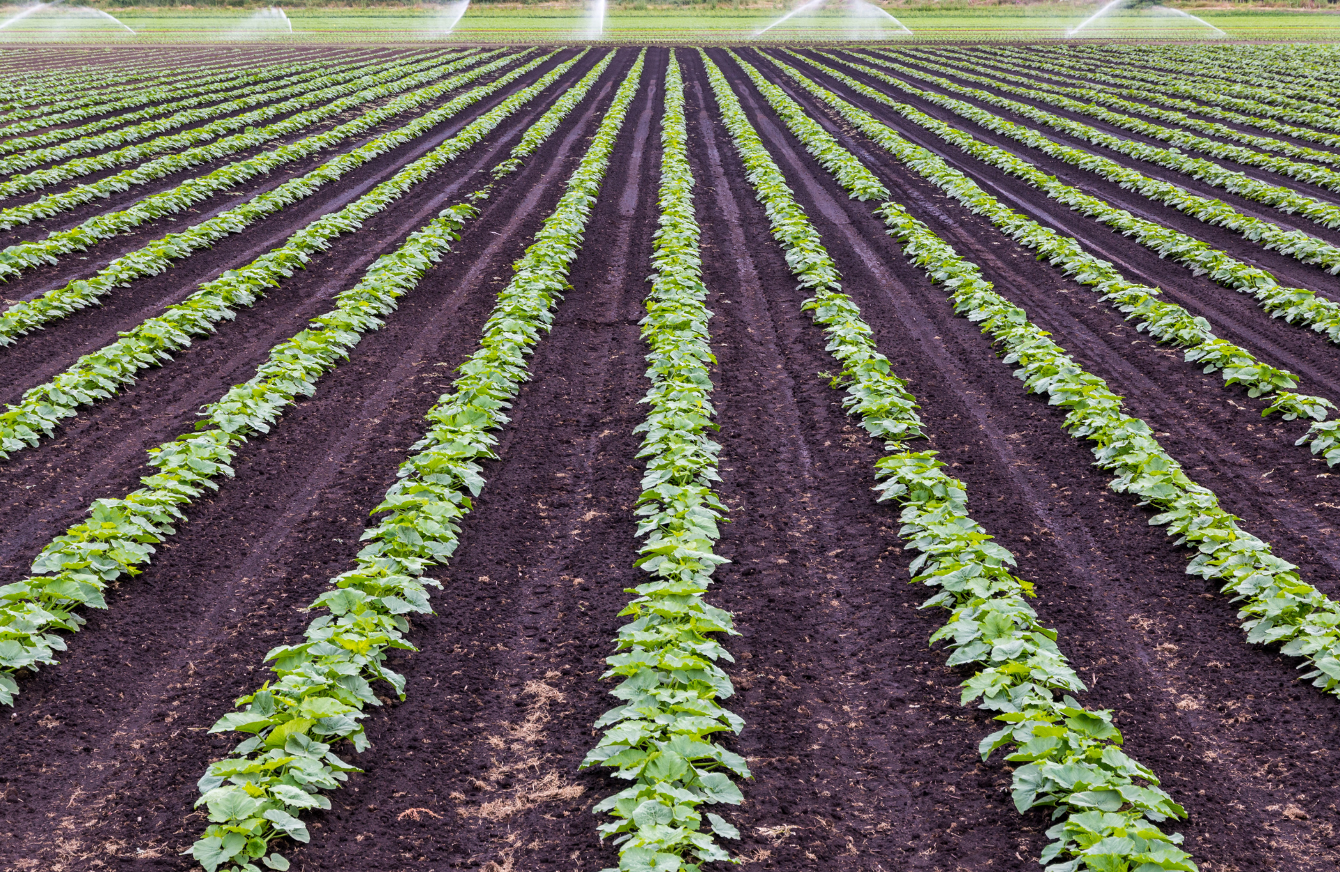
MONITOR IRRIGATION & CROP HEALTH
Boost yields, productivity, profitability, and sustainability


AERIAL PHOTOGRAPHY & VIDEOGRAPHY
Showcase your operation for web, social, and agri-partners.


How NDVI Imaging Helps Farmers in Southern Ontario Monitor Crop Health
Southern Ontario is home to some of Canada’s most productive farmland. From corn and soybeans to wheat, fruits, and vegetables, the region feeds millions of people. With this responsibility, farmers are always looking for ways to keep crops healthy, maximize yields, and stay ahead of issues before they cut into profits. One of the most effective tools to support this is NDVI imaging.
What is NDVI?
NDVI stands for Normalized Difference Vegetation Index. It’s a way of using aerial imagery—captured by drones, satellites, or specialized cameras—to measure plant health. NDVI works by analyzing how plants reflect different types of light:
Healthy crops absorb more visible light for photosynthesis and reflect more near-infrared light.
Stressed crops (due to pests, disease, or lack of water/nutrients) reflect light differently, which NDVI can detect.
This data is turned into easy-to-read maps that highlight problem areas in the field before they’re visible to the naked eye.
Why It Matters for Southern Ontario Farmers
Farming in Southern Ontario comes with unique challenges—weather swings, heavy clay soils in some regions, sandy soils in others, pest pressure, and increasing input costs. NDVI imaging gives farmers an edge by providing timely, field-specific insights.

“FARMERS CAN USE NDVI TO SAVE MONEY, BOOST YIELDS, AND REDUCE WASTE"
Real-World Applications:
Corn & Soybeans: Spotting nitrogen deficiencies early to adjust side-dress applications.
Wheat: Monitoring winter survival and identifying patches that need extra management.
Fruit & Vegetable Crops: Detecting disease pressure or irrigation issues before they spread.
For Southern Ontario farmers, NDVI isn’t just a fancy piece of technology—it’s a practical tool to save money, boost yields, and protect the land for the future. With drones and precision ag services becoming more accessible, NDVI imaging is quickly moving from “nice to have” to an essential part of modern farming.
Early Stress Detection:
NDVI shows which parts of a field are underperforming long before symptoms appear. Farmers can act quickly to address issues like nutrient deficiencies, disease, or drainage problems.
Targeted Field Management:
Instead of treating an entire field the same, NDVI allows farmers to apply fertilizer, fungicide, or irrigation only where it’s needed—saving money and reducing waste.
Better Yield Predictions:
By monitoring crop growth throughout the season, farmers can get more accurate yield forecasts. This helps with marketing decisions and managing storage or transport.
Improved Record-Keeping:
NDVI maps create a visual history of each field. This makes it easier to track long-term soil health, rotation impacts, and the effectiveness of management strategies year over year.
Sustainability Gains:
With rising input costs and environmental regulations, NDVI helps farmers use resources efficiently while protecting soil and water quality.


Aerial Crop & Soil Analysis
Detailed Visual Reporting
Advanced Operations Certified
Proudly 100% Canadian


Capture data on soil moisture and nutrient needs.
Photo documentation for visual proof of crop and soil health
Certified to meet Transport Canada's UAV program.
Proudly serving the farmers of southern Ontario.
DRONE SERVICES
Copywrite © 2025 Farmwyze All Rights Reserved.
COMPANY
FOLLOW US
"Jehovah will open to thee his good treasure, the heavens, to give rain unto thy land in its season, and to bless all the work of thy hand" - Deuteronomy 28:12