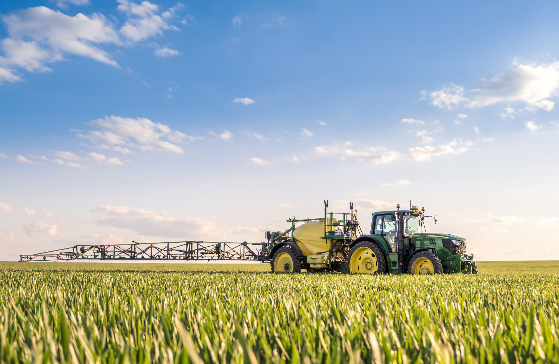
Helping Ontario Farmers Maximize Every Acre
IRRIGATION MANAGEMENT WITH THERMAL IMAGING
Drones equipped with thermal cameras instantly identify wet and dry areas so you can adjust spray patterns.
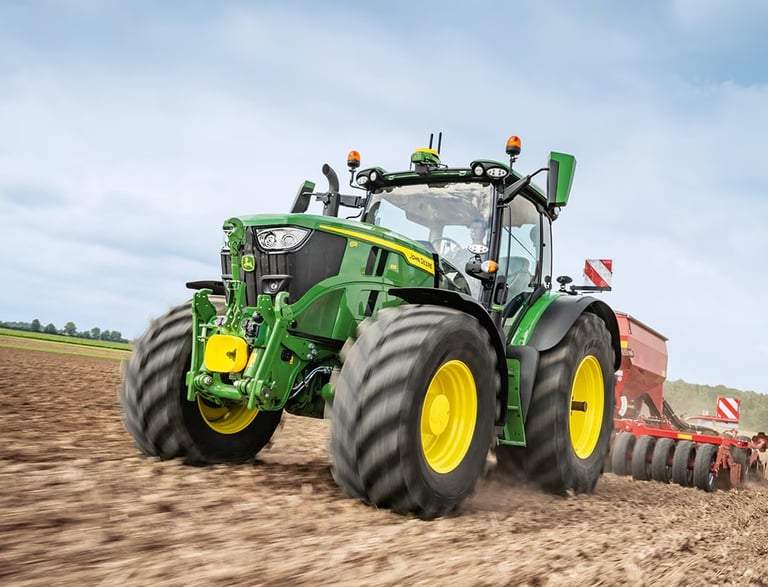
TERRAIN & SOIL DATA COLLECTION
Gather terrain and soil data for efficient planting
MONITOR IRRIGATION & CROP HEALTH
Boost yields, productivity, profitability, and sustainability


AERIAL PHOTOGRAPHY & VIDEOGRAPHY
Showcase your operation for web, social, and agri-partners.


Irrigation Management using Thermal Imaging
Water is one of the most valuable resources on any farm. In Ontario, where weather can swing from heavy spring rains to dry summer heat, managing irrigation effectively is critical to both crop health and farm profitability. But walking fields or relying only on soil moisture probes can miss important details. That’s where thermal imaging with drones is changing the game for farmers across the province.
What is Thermal Imaging?
Thermal imaging uses special sensors to detect heat differences across the field. Healthier, well-watered plants release water through a process called transpiration, which cools the plant’s surface. Stressed or under-watered crops appear warmer in thermal images. By flying a drone equipped with a thermal camera, farmers can quickly see where water is reaching—and where it isn’t.

“THERMAL MAPS HIGHLIGHT DRY ZONES, OVERWATERED PATCHES, OR CLOGGED IRRIGATION LINES"
How It Helps with Irrigation Management
1. Pinpoint Dry and Wet Spots
Instead of guessing where irrigation may be uneven, thermal maps clearly highlight dry zones, overwatered patches, or clogged irrigation lines. This lets farmers make targeted adjustments, saving time and water.
2. Improve Water Efficiency
In regions where water costs are high or restrictions are in place, every drop counts. Drones help ensure that irrigation is applied only where needed, reducing waste and keeping utility bills in check.
3. Detect Drainage and Soil Variability Issues
Ontario fields often have natural slopes and variable soils. Thermal imaging reveals patterns where water is pooling or draining too quickly, helping farmers plan tile drainage or adjust irrigation schedules.
4. Early Stress Detection
Crop stress from lack of water often shows up in thermal images before it’s visible to the eye. Acting early can prevent yield loss and protect crop quality.
5. Support for Precision Agriculture
Combining thermal imagery with NDVI crop health data gives farmers a powerful toolkit. Together, these tools show both where plants are stressed and why—whether from water, nutrients, or disease.
Why It Matters in Ontario
From corn and soybeans in Southwestern Ontario to vineyards in Niagara, irrigation needs vary widely. Some farms rely on center pivots or drip lines, while others depend on natural rainfall. With unpredictable weather patterns becoming more common, drone-based thermal imaging helps Ontario farmers stay one step ahead, ensuring crops get the right amount of water at the right time.
Thermal imaging isn’t just a high-tech gadget—it’s a practical tool that helps farmers save water, reduce costs, and boost yields. By integrating drones into irrigation management, Ontario farmers can make smarter, data-driven decisions that pay off at harvest.


Aerial Crop & Soil Analysis
Detailed Visual Reporting
Advanced Operations Certified
Proudly 100% Canadian


Capture data on soil moisture and nutrient needs.
Photo documentation for visual proof of crop and soil health
Certified to meet Transport Canada's UAV program.
Proudly serving the farmers of southern Ontario.
DRONE SERVICES
Copywrite © 2025 Farmwyze All Rights Reserved.
COMPANY
FOLLOW US
"Jehovah will open to thee his good treasure, the heavens, to give rain unto thy land in its season, and to bless all the work of thy hand" - Deuteronomy 28:12